Min Kyung Lee
Post-Doctoral Fellow in Modern Architecture
Department of Art, Swarthmore College
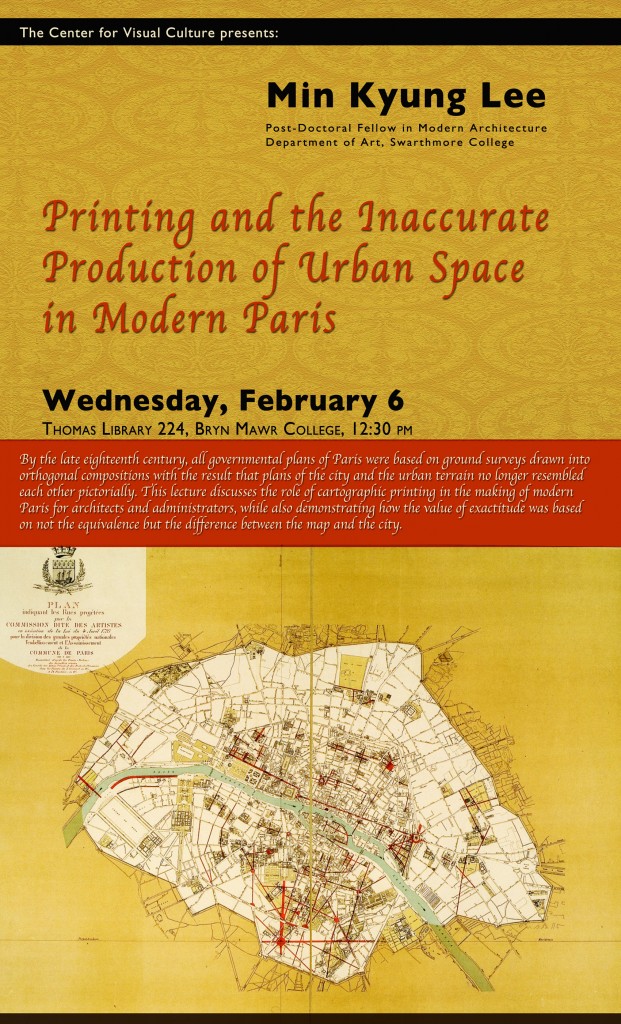
“Printing and the Inaccurate Production of Urban Space in Modern Paris”
By the late eighteenth century, all governmental plans of Paris were
based on ground surveys drawn into orthogonal compositions. Because the
plan of the city and the urban terrain no longer resembled each other
pictorially, fidelity was established by (1) the verification and
repetition of new quantitative surveying practices; (2) visual
compositions through scientific rhetorical strategies; and (3) the
reproduction of those graphic results through new printing technologies.
The aim of engineers, architects, and administrators in the making of
urban plans was to construct not only correspondence between
representation and reality but also to eliminate divergences between
printed representations. Generally, the objective relationship between
representation and reality relates to a definition of “accuracy”, which
describes the degree to which a representation approaches or diverges
from the object of representation. “Precision” is related to an image’s
internal coherence, i.e., the greater the precision, the fewer
inconsistencies within and between representations. As printing
technologies improved, these two values merged, according the map’s
exact reproduction to be the operative basis for the planning of new
spaces. This lecture discusses the role of cartographic printing in the
making of modern Paris for architects and administrators, while also
demonstrating how the value of exactitude was based on not the
equivalence but the difference between the map and the city.

